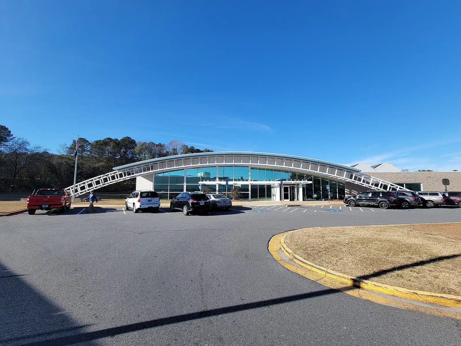
Woodstock's Highway 92 corridor at I-575 Exit 7 mixes apartments, townhomes and big-box stores. Mostly ZIP 30189: $449,993 typical value in August 2026.
Last checked Oct. 6, 2026. Sources: the City of Woodstock’s 2023 Comprehensive Plan (PDF) and its GIS map layers, the Cherokee County School District’s boundary maps, the state’s 2025 School Grades data, Zillow Research and OpenStreetMap. City Hall: 770-592-6000.
Where Highway 92 crosses I-575 at Exit 7, Woodstock’s city limits reach west along the highway in a narrow band toward Bells Ferry Road. This is the city’s western shopping strip, with the Target center, offices and business parks, and a handful of apartment and townhome communities built behind them.
What this means for you
- Zoned high school: Woodstock High for every address. Most homes are zoned for Carmel Elementary. Check one address with the district at 770-479-1871.
- Home value: $449,993 in ZIP 30189 in August 2026, according to the Zillow Home Value Index.
- Nearest interstate exit: I-575 Exit 7, Highway 92, about 1.5 miles by road.
Part of our Woodstock neighborhoods guide.
Where it is
The area follows Highway 92, also called Alabama Road, west of I-575, plus the commercial strip just east of the interchange that is outside the Downtown District. The Cobb County line is a short distance to the south. The city limits here are patchy, with unincorporated parcels between city ones, so check a parcel on the county’s records. In our mapping, 96% of buildings are in ZIP code 30189 and the rest, east of I-575, in 30188.
The city’s 2023 Comprehensive Plan puts about 72% of the buildings here in the Neighborhood Living character area and 22% in the Regional Activity Center, where it wants “the highest-intensity developments,” with “major retail and office spaces, with the potential for some residential as well.” The plan’s housing work program calls for Highway 92 Development Standards to “create opportunities for infill housing” along the corridor, budgeted at $200,000 in Atlanta Regional Commission funds with a local match.
Homes
The city’s subdivision map names five residential developments here: Aldyn, the largest at about 26 acres, Townview Commons, The View at Woodstock Apartments, Addison Point and Chastain Heights. The rest of the area is commercial: the city’s shopping center map lists the Target Shopping Center, about 35 acres with Target, Kohl’s and Old Navy, plus the Big Lots Shopping Center, Shoppes of Woodstock, The Shoppes, Fowler Crossing and the Kingston Square, Emma Lane and Brooks business parks. We found no city HOA registry, so this page does not list HOAs.
Schools
How the buildings here split in the Cherokee County School District’s boundary maps. Scores are 2025 College and Career Ready Performance Index (CCRPI) figures from the state’s School Grades data.
| Level | School | Share of buildings | 2025 CCRPI |
|---|---|---|---|
| Elementary | Carmel Elementary (report card) | 85% | 79.9 |
| Elementary | Woodstock Elementary (report card) | 15% | 83.6 |
| Middle | Woodstock Middle (report card) | 100% | 87.7 |
| High | Woodstock High (report card) | 100% | 89.6 |
All five named residential developments map to Carmel Elementary, at 2275 Bascomb Carmel Road. The district scored 87.0 and the state 78.0. Check an address on the district’s maps page or at 770-479-1871. More in our Woodstock schools guide.
Home values
The typical home value in ZIP 30189 was $449,993 in August 2026, down 2.5% from $461,305 in August 2025, according to the Zillow Home Value Index. In ZIP 30188 it was $465,240, down 1.3%. The citywide Woodstock figure was $456,827, down 1.9%. The index is a modeled typical value for the middle third of homes, not a sale price, and each ZIP code covers far more than this corridor. More in our home prices guide.
Parks and trails
There is no city park inside this area. The nearest city trail is the Noonday Creek Trail, which reaches Highway 92 east of I-575; the city’s plan lists an extension south of the highway toward Noonday Creek Park, a Cobb County park that OpenStreetMap places at 489 Hawkins Store Road Northeast. More in our parks and trails guide.
Getting around
- I-575: Exit 7, Highway 92, about 1.5 miles by road; Exit 8, Towne Lake Parkway, about 2.5 miles.
- Downtown: about 3.2 miles to the Park at City Center.
- Airport: about 39 miles to Hartsfield-Jackson Atlanta International Airport.
- These are distances on the OpenStreetMap road network, measured with the OSRM routing engine from the middle of the area, not drive times.
- Transit: Xpress commuter buses list no Woodstock stop. More in our getting around guide.
Groceries and everyday stores
From OpenStreetMap:
- CVS Pharmacy at Target, 140 Woodstock Square Ave.
- BJ’s Wholesale Club, 105 Long Drive
West of the city line, OpenStreetMap shows Kroger at 6199 Alabama Road and Food Depot at 5530 Bells Ferry Road.
How we drew this area
This area is every part of the city west of I-575 and south of latitude 34.097, roughly the Woodstock High campus, plus the strip east of I-575 near Highway 92 that is outside the Downtown District. School shares, ZIP codes and character areas come from the buildings mapped in OpenStreetMap inside it, outside the city’s mapped shopping and business centers, matched to the district’s countywide boundary maps and the Census Bureau’s ZIP code areas. Store and park locations are © OpenStreetMap contributors.
Frequently asked questions
What schools serve the Highway 92 and I-575 area of Woodstock?
In the Cherokee County School District’s boundary maps, about 85% of the buildings here are zoned for Carmel Elementary and 15% for Woodstock Elementary; all of them go on to Woodstock Middle and Woodstock High. Confirm an address at 770-479-1871.
Is the Highway 92 area of Woodstock a good place to live?
Here are the facts. The city’s part of the corridor is mostly apartments and townhomes, such as Aldyn and Townview Commons, next to the Target and Kohl’s shopping centers at I-575 Exit 7. It is zoned for Woodstock High, which scored 89.6 on the state’s 2025 CCRPI, and Zillow put the typical home value in ZIP 30189 at $449,993 in August 2026.
What is I-575 Exit 7 in Woodstock?
Exit 7 is Highway 92, also called Alabama Road, the main east-west road across Woodstock.
What ZIP code is Highway 92 at I-575 in Woodstock?
Mostly 30189. In our mapping, 96% of the buildings in this area are in ZIP 30189 and the rest, east of I-575, in 30188.
Have your say